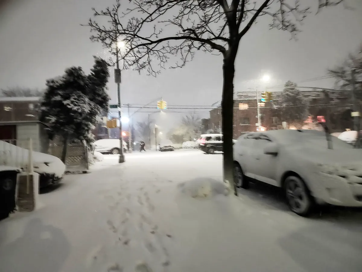
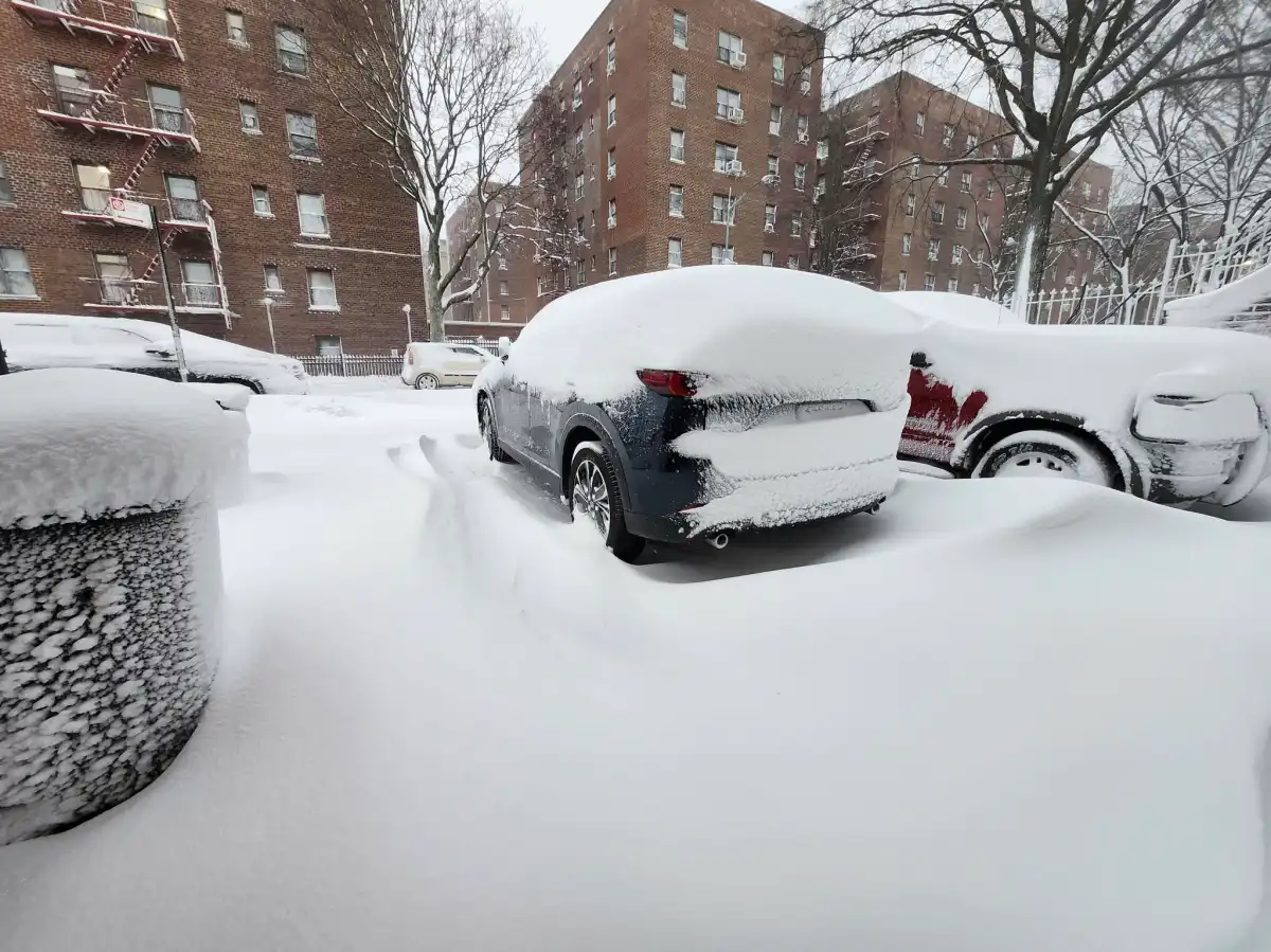
A heavy snowfall has been impacting New York City and the Long Island area, leaving so far, in some sectors, 24 inches of snow accumulation and damaging winds.
The snow storm that began on Sunday night continues this Monday, February 23, which has motivated the authorities to declare a state of emergency, the prohibition of travel on the streets and highways (for non-essential vehicles) and the suspension of school classes in the region.
More snow and dangerous travel conditions are expected in this winter blizzard until noon, with wind gusts up to 60 miles per hour.
In the Islip area the storm could leave more than 23 inches of snow; in the Upton area up to 18.9 inches; and in NYC’s Central Park more than 15.1 inches.
7am major reporting sites snowfall update:
Islip: 22.5″
Newark: 18.3″
NWS NY (Upton, NY): 18.3″
Central Park: 15.1″
LGA: 15.1″
JFK: 15.0″— NWS New York NY (@NWSNewYorkNY) February 23, 2026
Nassau County is reported to extend the travel ban until 11 a.m. and Suffolk County has extended the travel ban until noon, with the possibility of a further extension, depending on how the storm evolves.
Likewise, the company PSEG is reported to have about 17,000 customers affected by power outages on Long Island.
While LIRR train service is suspended (as of 1 a.m.) and transportation will resume when weather conditions permit.
The blizzard warning continues until 6 pm Monday.
Blizzard conditions can turn dangerous fast. Be ready:
• Stock emergency supplies
• Stay indoors and keep warm
• Avoid travel if possible
• Dress in layers and stay dry
• Have a way to call for help
• Monitor weather alertsPrepare now. Stay safe. https://t.co/j01XgnSC7V pic.twitter.com/vBni63cEfz
— NJOEM🇺🇸 (@ReadyNJ) February 22, 2026